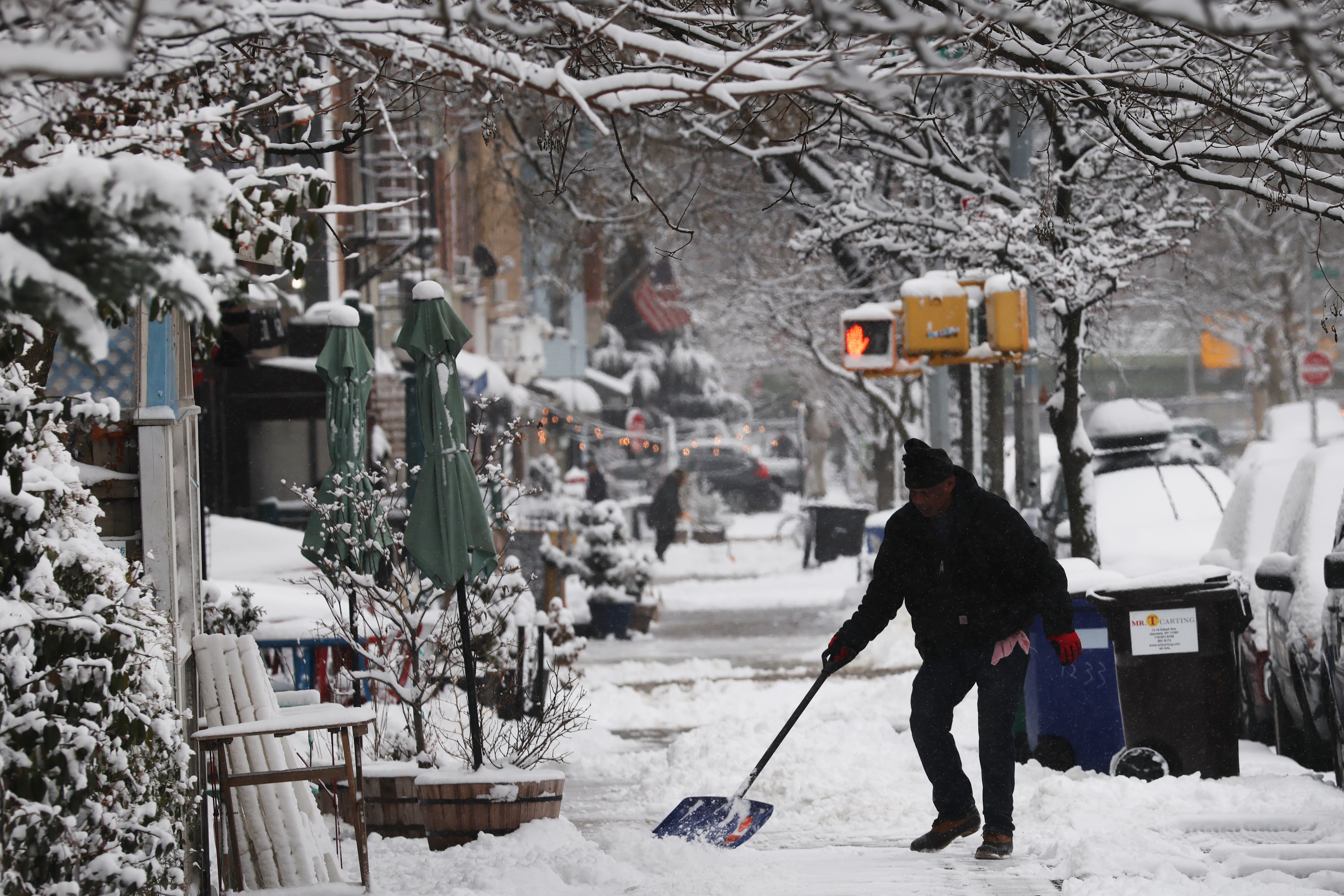
A powerful winter storm is sweeping across the northern United States, bringing blizzards, heavy snow, and damaging winds to an expansive region from North Dakota to New England. Millions are bracing for treacherous conditions, with forecasters issuing warnings for whiteouts and significant travel disruptions over the coming days. The system’s broad reach and varied impacts underscore the severe weather threat facing multiple states.
Blizzard warnings are in effect for a narrow band stretching from Fargo, North Dakota, south to Mason City, Iowa, encompassing parts of both states and Minnesota. This region anticipates 3 to 8 inches of snow combined with winds gusting up to 45 miles per hour, creating dangerous whiteout conditions through the early part of the week. Travel is strongly discouraged in these areas due to extremely low visibility.
Further east, Michigan’s Upper Peninsula faces even more severe conditions, with blizzard warnings forecasting nine inches to two feet of snow and winds potentially reaching 60 miles per hour. Cities across the Great Lakes region, including Cleveland and Detroit, are preparing for sustained high winds up to 60 mph from Sunday night into early Tuesday morning, posing risks for power outages and structural damage.
The storm’s impact extends into the Northeast, where winter weather advisories cover areas from Scranton, Pennsylvania, through Burlington, Vermont, and Portland, Maine. Freezing rain is expected on Sunday and Monday, potentially creating a quarter-inch of ice accumulation in northern New England, rendering roads exceptionally hazardous. Buffalo and Jamestown, New York, are also under flood watches, with heavy rainfall a concern.
In the wider upper Midwest, cities like Minneapolis and Green Bay are projected to receive 5 to 9 inches of snow, adding to the storm’s widespread effects. Further south, a Level 1 of 5 severe storm threat has been identified, impacting a corridor from northern Indiana into Missouri. This region, including Indianapolis, St. Louis, Louisville, and Nashville, primarily faces high-speed, damaging wind gusts, distinct from the heavy snow to the north.
The expansive weather system began dropping snow on Sioux Falls and Fargo early Sunday morning and is steadily advancing eastward across the northern tier of the United States. The Midwest experienced worsening storm conditions through Sunday afternoon, with the Northeast slated to feel the full impact shortly thereafter. Authorities urge residents to monitor local forecasts and adjust travel plans accordingly.
Road travel is expected to become particularly treacherous, especially along parts of the I-95 corridor between Philadelphia and Boston, where freezing rain around Sunday evening could create hazardous driving conditions. Forecasters anticipate the main storm system will begin to clear by Monday night, offering some relief to affected areas. However, its departure does not signal an immediate end to all wintry weather.
Following the primary system, lake-effect snow is highly probable for communities situated near the Great Lakes, a phenomenon known for localized heavy snowfall. This secondary wave of snow could persist into Tuesday and potentially Wednesday, extending the period of wintry conditions for specific regions. While the interior Northeast may also see some lake-effect snow, amounts are generally expected to be lighter.
This latest severe weather event arrives just days after another significant winter system swept across the Northeast earlier in the week. That previous storm brought substantial snow to New York and New Jersey, resulting in thousands of flight cancellations and delays, underscoring the challenging start to the winter season for many parts of the country.
Keywords: Winter storm, US weather forecast, Blizzard warnings, Great Lakes snow, Northeast freezing rain, Damaging wind gusts, Midwest snow forecast, Travel disruptions


